Fiscally Standardized Cities
The Fiscally Standardized Cities (FiSC) database makes it possible to compare local government finances for over 200 of the largest US cities across 115 categories of revenues, expenditures, debt, and assets.
Tool
Data
Freely available datasets are critical for policy analysis. The Lincoln Institute’s databases enable researchers to study important land policy challenges, policymakers to understand practices in other jurisdictions, and journalists to provide context in their stories. They also promote transparency and democratize access to information.

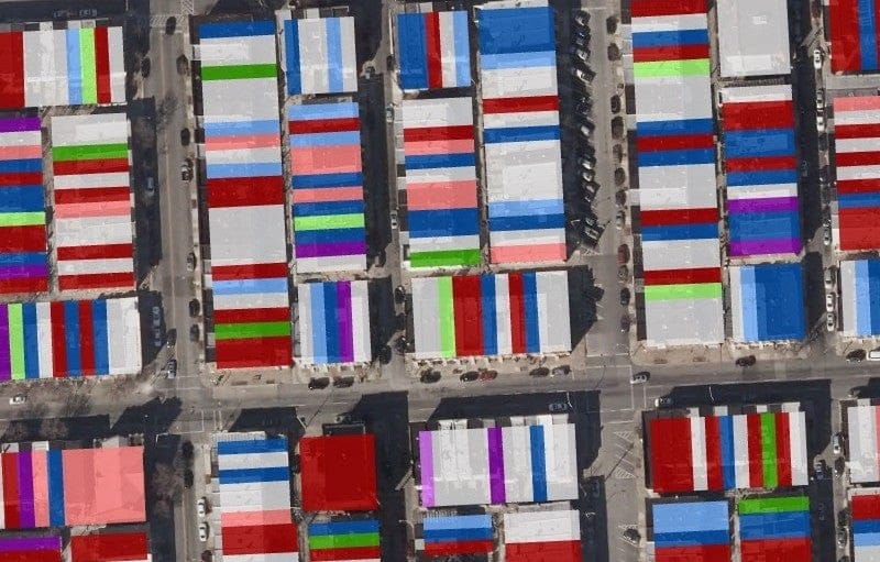
Visualizing Density is an online database featuring more than 100 images of density in the built environment across the US, with associated characteristics including walkability and access to transit and amenities. The site provides extensive background and resources related to density, which is increasingly a contentious public policy issue in the context of infill redevelopment and zoning reform aimed at increased supply of housing.
Explore the Database