Land Lines October 2016

Precision Conservation
The Chesapeake Conservancy’s land cover data are identifying sources of pollution in the bay with 90 percent greater accuracy and 900 times more information than the industry standard. The recent addition of parcel-level county data on land use makes the technology a global game changer.

Boundary Issues
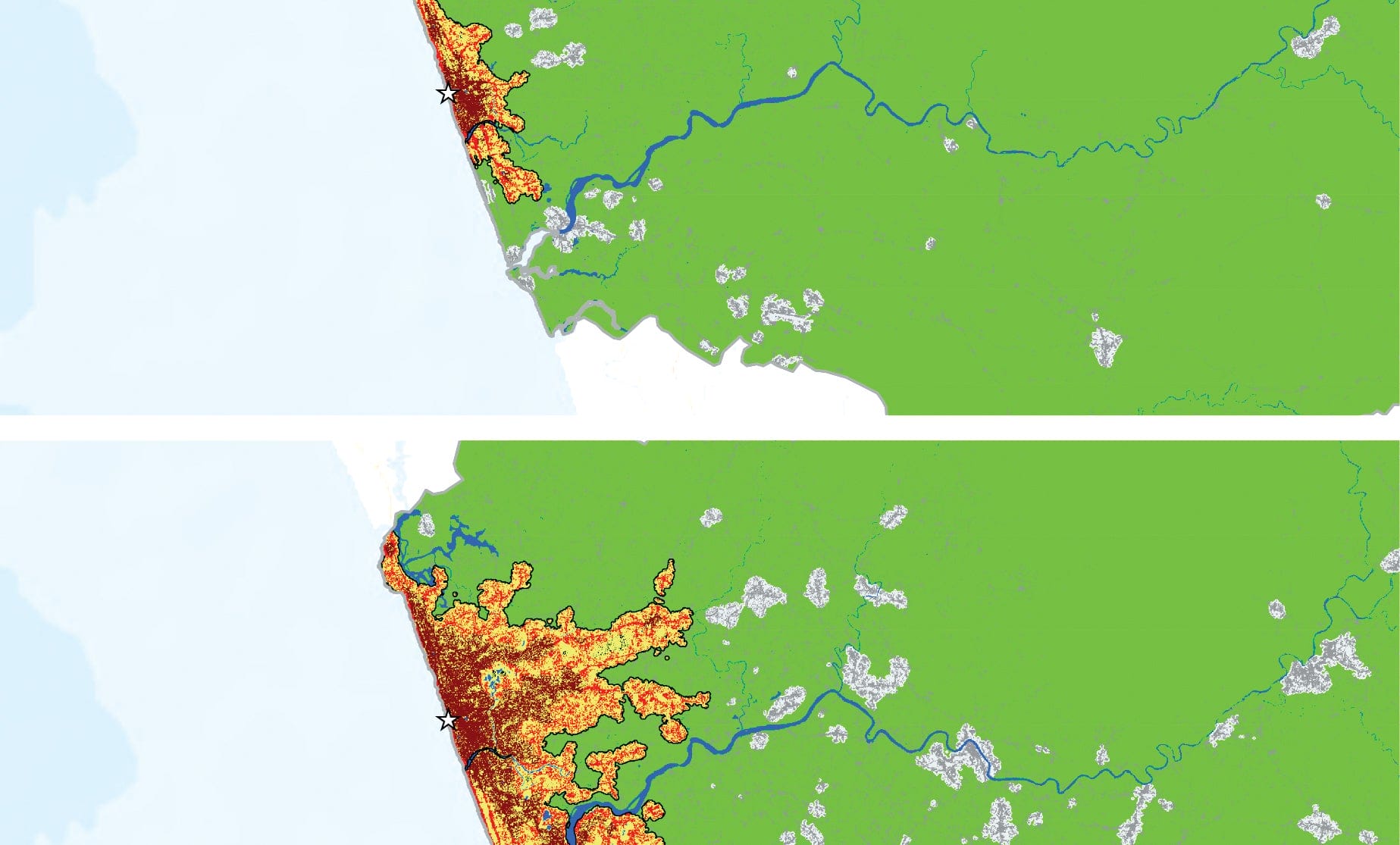
Cities around the world are consuming land at a rate that exceeds population growth, according to this analysis of 200 global urban centers. Drawn from satellite images, population figures, and other data the study parses the drivers and effects of sprawl and creates the basis for a science of cities.

WPA 2.0
An unprecedented combination of environmental problems, political evolution, and new design and technology presents an unparalleled opportunity to augment America’s failing infrastructure to absorb storm water, sequester carbon, and provide additional environmental and economic benefits.

In this special edition for Habitat III we map the future—with content on the New Urban Agenda; the 2016 Atlas of Urban Expansion, sponsored by UN-Habitat, New York University, and the Lincoln Institute; the Chesapeake Conservancy’s groundbreaking high-resolution land cover GIS; and the need for a U.S. infrastructure upgrade: a WPA 2.0.
