Other Publications

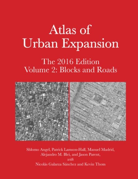
Atlas of Urban Expansion—2016 Edition
Volume 2: Blocks and Roads
Shlomo Angel, Patrick Lamson-Hall, Manuel Madrid, Alejandro Blei. and Jason Parent, with Nicolás Galarza Sánchez and Kevin Thom
October 2016, English
Copublished by the NYU Urban Expansion Program at New York University, UN-Habitat, and the Lincoln Institute of Land Policy
This book, in two volumes, illustrates how 200 of the world’s fastest growing cities have expanded physically from 1990 to 2015. Based on the online Atlas of Urban Expansion, an open-source database of satellite imagery, coupled with population figures and other data, these volumes characterize the quantity and quality of urban growth in additional detail. Volume I covers areas and densities. Volume II covers blocks and roads.
The database was produced through a partnership of the Lincoln Institute, UN-Habitat, and New York University. Adopted by the United Nations statistics division as a way to conduct ongoing analysis of urbanization trends, the sample shows land consumption increasing at an unsustainable rate, tripling as populations double—a disturbing trend in the face of climate change, and in the context of UN projections that by 2050 global population will swell to 9.7 billion, with 70 percent settling in urban centers.
Urban expansion, particularly at the periphery of sprawling metropolitan areas, especially in the developing world, lacks open space, short blocks for walkability, and access to arterial roads to help people get to work, and thus degrades quality of life, economic development, and the environment. The Atlas of Urban Expansion provides a scientific basis for understanding these charateristics of urbanization, and formulating policies for more sustainable growth.
