Visualizing Density
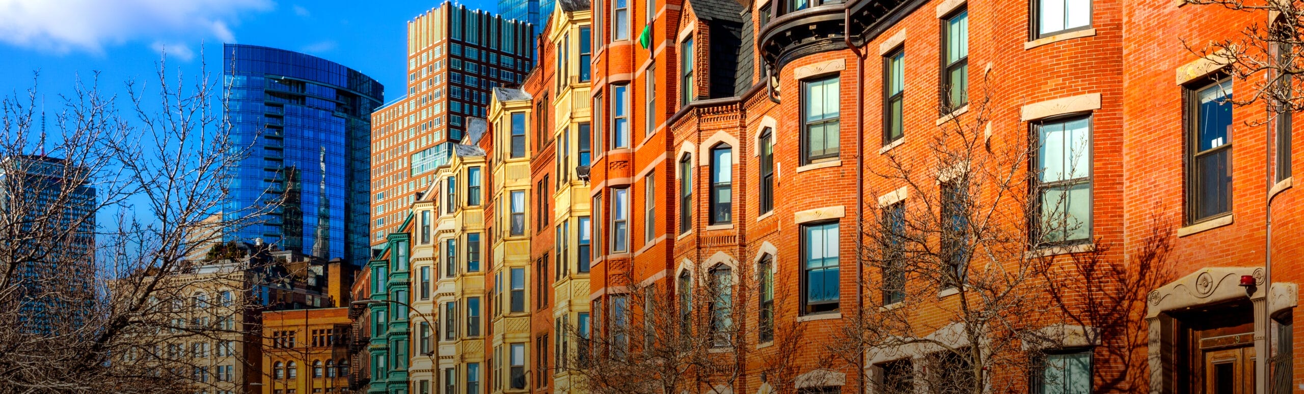
Image Search
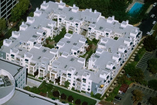
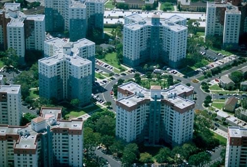
This gallery contains hundreds of aerial photographs of neighborhoods across the country, each measured by density in units per acre. It provides a unique tool to translate density numbers into mental images. Browse the gallery and you will begin to see the discrepancy between perceived and measured density. Some neighborhoods look dense but aren’t. Others appear uncrowded but contain many units of housing. The images also demonstrate how site and architectural design affect our perception of density. Juxtapose neighborhoods with similar density and see how various design approaches create places with dramatically different character.
You may browse the catalog by region, setting, or density level, or peruse the whole collection.
Click each thumbnail to see more views

San Francisco, CA
222 units / acre

San Francisco, CA
96.9 units / acre

Kansas City, MO
96 units / acre
Boston, MA
96 units / acre
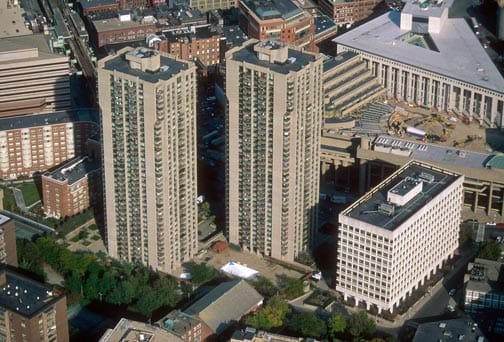
Boston, MA
89.9 units / acre
San Francisco, CA
89.4 units / acre

Oakland, CA
85.3 units / acre
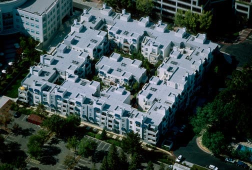
Cupertino, CA
85 units / acre
Mountain View, CA
72.7 units / acre
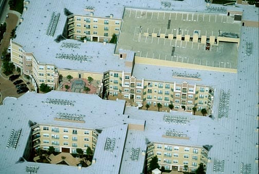
Dallas, TX
64.1 units / acre

Emeryville, CA
61.5 units / acre
Los Angeles, CA
60 units / acre