Visualizing Density
Glossary
Amenity
A feature that provides an aesthetic or functional benefit to residents. An amenity might be a public space, recreational facility, street trees and other landscaping, sidewalks, decks or balconies, parking, access to transit, etc.
Building footprint
The outline of a building on ground level, or the 2-dimensional form it creates on a site.

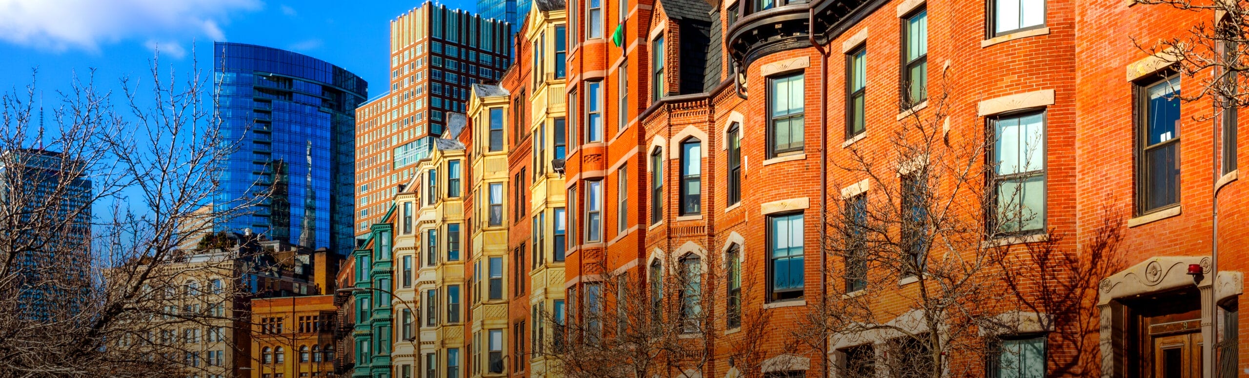
Detached housing
A single dwelling unit that stands alone on an individual parcel.
Floor Area Ratio (F.A.R.)
A density measure expressing the ratio between a building’s total floor area and its site coverage. To calculate F.A.R., the gross square footage of a building is divided by the total area of its lot. F.A.R. conveys a sense of the bulk or mass of a structure, and is useful in measuring non-residential and mixed-use density.

Green infrastructure
A network of landscaped and/or natural areas threading through a site. It includes features such as street trees, landscaped boulevards, riparian stream corridors, wetlands, or wooded areas. Green infrastructure provides residents of high-density neighborhoods with a vital connection to the natural world as well as many environmental benefits including absorption of storm water.
Gross density
A units-per-acre density measurement that includes in the calculation, land occupied by public rights-of-way, recreational, civic, commercial and other non-residential uses.
Infrastructure
Improvements such as water and wastewater systems, utilities, roads, sidewalks, lighting, public buildings and other facilities that make development possible.
Interconnected street network
A system of streets, sidewalks or paths that create multiple routes between destinations for vehicular and pedestrian traffic.
Net density
A units-per-acre density measurement that includes in the calculation only land occupied by residential uses. It does not include streets, parks or other uses.
Pedestrian-friendly
Development designed to accommodate pedestrian use and comfort. Pedestrian-friendly environments are scaled to the human form, with closely-spaced buildings and visual details perceived at a walking pace.
Public space
Land that is allocated for public use. It might be publicly or privately owned. Examples are greens, squares, plazas, and parks. Public spaces often provide a sense of neighborhood identity as well as places for recreation and socializing.
Service lane or alley
A narrow street that allows access to the interior of a block for parking and other service functions.

Streetscape
The space along a street defined by elements such as neighboring buildings, trees, sidewalks, pavement width, lighting, signs, benches and other “furniture.”
Townhouse, Rowhouse or Attached housing
Dwelling units in a group of 2 or more, sharing a common wall or walls with neighboring units and separately owned. Units usually have a front and rear entrance.

Threshold
Minimum population or density needed to support a certain level of service. For example, transit with a frequency of 1 bus every 30 minutes is feasible above a threshold of 7 units per acre.