Visualizing Density
Background & Context
Increasingly, density is the manifestation of environmental and equity imperatives. Multifamily housing near transit stations is more energy-efficient on a per capita basis than low-density, car-dependent suburban sprawl. As for equity, many state and local zoning reform measures are aimed at allowing multifamily housing, which has often been excluded in favor of generally more expensive single-family homes. In this context, density is a path to affordability.
Making the case for density requires an understanding of the technical definitions, often expressed as “15 units per acre” or the like, and the ways that density is perceived—or misapprehended—by much of the public. Scroll down for examples and comparisons of density.
Density expresses a ratio—most often the number of housing units to the area of land. It tells us something about how much activity is compressed into a given area, but it reveals little about physical form. Two neighborhoods with exactly the same density can look as different as night and day. Although their density measurements match, they are not necessarily perceived as being equally dense. What really matters is how the streets are laid out, how the land is subdivided, how the buildings are arranged and detailed, whether trees are planted, where the sidewalks lead. These are all functions of design.
What is the density of the street you live on? The answer is not any single number but several, depending on how you measure density and how broad an area you include in your calculation. Density can be expressed in different ways—people per square mile, units per acre, or floor area ratio. Residential density is typically expressed in housing units per acre and measured as net or gross. Commercial or mixed-use density is more accurately expressed as a floor area ratio. The density of your street will depend on how you define the boundaries. Does it include the apartment building on the other side of the block? If so, the number will bump up. Are you including the park on the next block? The number will drop.
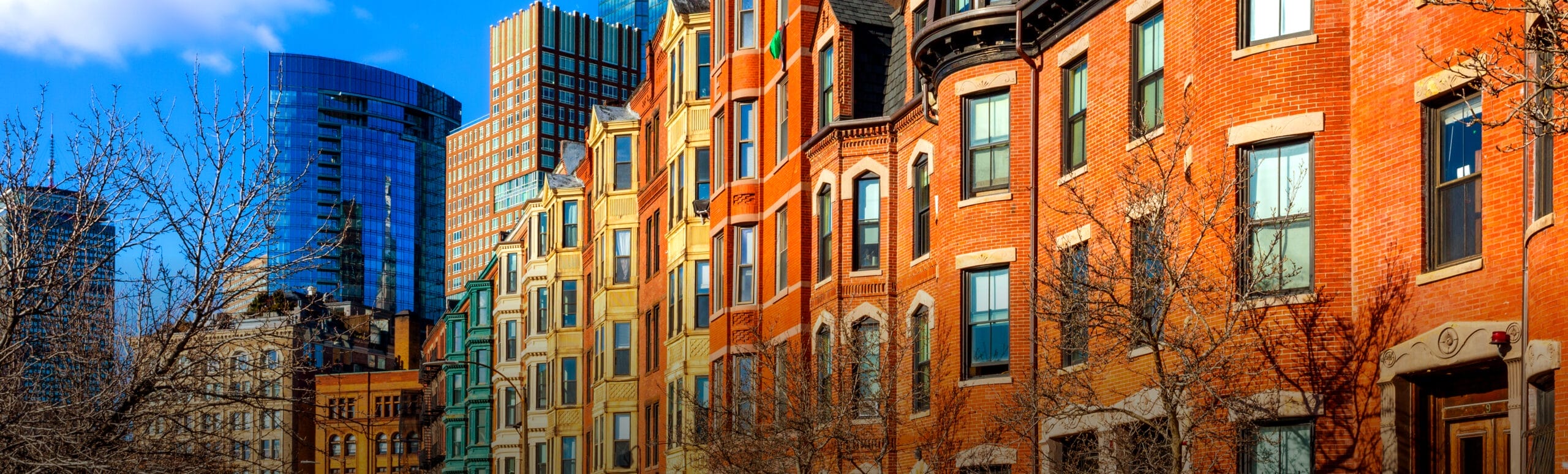
Here’s an example of how density numbers can vary, using Boston’s Back Bay neighborhood as an example.
These four blocks have a similar density level yet each takes a different form and provides a different type of living environment.


Specific design elements, or amenities, can mitigate negative perceptions of density. Carefully placed and proportioned public spaces often compensate for the loss of large lots. Clearly defined and enclosed private yards can be more satisfying outdoor spaces than large, blank lawns; street trees provide shade and blend the natural world with the built environment. An interconnected street network that serves both vehicles and pedestrians can make neighborhood life more community oriented and convenient. Other critical elements include:
Parking
Parking is a major consideration when designing for density. In high-density developments, parking facilities must be highly organized and space efficient. Several alternatives can provide higher-density residents access to automobiles, including ride-share access. Many communities have been reducing minimum parking requirements to reduce costs. Access to bicycle parking, bike lanes, and walking access to public transit also promotes alternatives to driving. The challenge is to prevent cars and the attendant asphalt from overwhelming the neighborhood.
Tradeoffs
Low-density neighborhoods have appealing qualities to many people. They offer spacious yards, privacy, quiet, and convenient parking. At the other end of the spectrum, urban neighborhoods offer access to a rich array of services. As density levels increase and living units move closer together, yards become smaller and parking space shrinks. High-quality architecture and careful site planning can maintain the best qualities of low-density living in new compact neighborhoods.
Building Up, Not Out
In designing for density, placing houses close together is important, but building vertically is essential. A two-story house provides the same living space with half the footprint. Given our penchant for large homes (the average new American house size is 2,200 square feet), arranging single-story houses in a tighter pattern does not yield much density. Even at modest density levels (four to six units per acre) such houses consume an inordinate amount of open space. Building up rather than out not only allows higher densities, it offers opportunities to create significant green space.
Pattern Variations
What determines whether a place seems too dense? One important characteristic is the overall settlement pattern. While repeated forms in many contexts can promote a sense of symmetry and beauty, sometimes a little variation in building facades, massing, and form can be more welcoming. Contrast and diversity, at the neighborhood and regional level, can be important components to successful density.