Land Matters Podcast
A behind the scenes look at what makes cities tick. Whether financing infrastructure, adapting to climate change, or building more affordable housing, a big part of innovative solutions can be traced back to land.
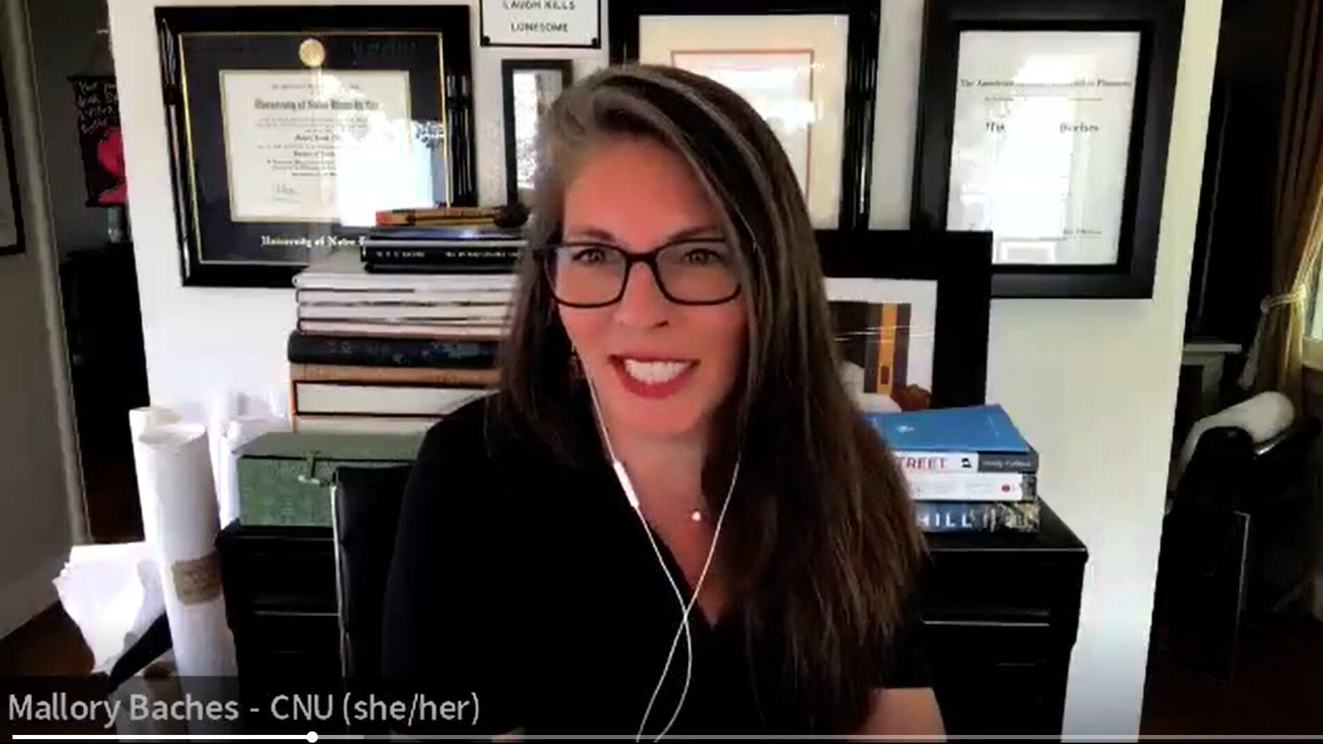
Demand for walkable urbanism is stronger than ever, according to Mallory Baches, president of the Congress for the New Urbanism, an organization that has been promoting compact, mixed-use, transit-oriented development for more than three decades.

Episodes
Rob Walker, author of City Tech: 20 Apps, Ideas, and Innovators Changing the Urban Landscape, reflects on how artificial intelligence could change urban planning, along with other advances in technology that are poised to improve quality of life in cities.
At the helm in Providence, Rhode Island, after the city has seen 30 years of steady revitalization, Mayor Brett Smiley hopes to keep up the momentum while also addressing affordability and fiscal challenges. The latest municipal leader to be interviewed in the Mayor’s Desk series, he also talks bike lanes, nightlife, and the vagaries of community engagement.
Demand for walkable urbanism is stronger than ever, according to Mallory Baches, president of the Congress for the New Urbanism, an organization that has been promoting compact, mixed-use, transit-oriented development for more than three decades.

