This article is reprinted with permission from Bloomberg CityLab, where it originally appeared.
Not far from the pyramids of Giza, symbols of the endurance of civilization, a global group of urban planners and scholars recently gathered to confront the myriad threats afflicting the physical city.
Calamity associated with climate change continued to be top of mind at UN-Habitat’s World Urban Forum 12, a summit to promote equitable and sustainable global cities held in Cairo in November. But another driver of urban devastation loomed especially large: intensifying military conflict.
In Gaza and Ukraine, entire neighborhoods have been reduced to rubble, following on the vast destruction seen in Syria, Iraq, and the former Yugoslavia in the last nearly half-century. While attacking human settlement is hardly new—from the sacking of Rome to the London blitz to Hiroshima and Nagasaki—the razing of cities has grown in intensity and scope, researchers say, thanks to shifts in military strategy and advances in missile, bomb, and drone technology.
Accordingly, conflict-driven destruction—and the vastly complicated associated questions of humanitarian triage, refugees, and ultimately, rebuilding—played a prominent role in policy discussions at WUF12. With urban ruination occurring in real time not far away, one of the forum’s six major “dialogues” confronted the issue directly: In a session called “The Loss of Home,” delegates addressed “displacement caused by global crises, with a focus on rebuilding resilient communities and strengthening urban responses to protect the idea of home.”
The forum’s concluding resolution acknowledged the toll, citing “the need for resilient urban systems that can adapt and respond to the needs of all residents, fostering social cohesion and the reconstruction of homes” and noting that “local governments play a key role in driving solutions and integrating the forcibly displaced into urban development strategies.”
“Those of us brought up as architects or urban planners, we know that the home is not just about the provision of shelter,” but is inextricably bound up with family, community, culture and identity, said Sultan Barakat, professor of public policy at Qatar Foundation’s Hamad Bin Khalifa University and one of the speakers at the dialogue.
Any plans for accommodating displaced peoples, or in the longer term, reconstruction—a politically fraught exercise that will depend on who is doing the rebuilding, and paying for it—must acknowledge these powerful associations, Barakat said.
While there is no single metric, researchers and international aid organizations agree that urban destruction driven by conflict has intensified in the first quarter of the 21st century. Since 2002, approximately 432,000 civilians have been killed, and 38 million forcibly displaced, according to the Watson Institute for International and Public Affairs at Brown University. Most were city dwellers, partly a reflection of continuing global rural-to-urban migration.
Over the last several decades, the battlefield has shifted to dense urban areas, military scholars say, often because insurgent or paramilitary forces have embedded themselves into the civilian population. In other cases, armies are simply seeking to make territorial gains city by city—an established military tactic that is today playing out in an excruciatingly drawn-out process.
“Evacuation and exile appear to be the main objective: depopulation lowers the human capital of countries and depresses their economies,” writes University of Glasgow professor Josef Konvitz in his 2023 article “People Are the Target: Urban Destruction in the 21st Century.” “Moreover, the increased number of refugees can be turned into an instrument to exert leverage on other countries, destabilizing regions far removed from the war zone.”
Advances in weaponry also play a role. While modern weapons systems can hit with great accuracy—and in some cases civilians are forewarned of an attack—the sheer volume and intensity of today’s urban bombardments has brought shocking devastation. By some measures, the campaign on Gaza has outpaced Allied bombings of Germany during World War II. Human rights groups have decried the use of weapons like ground-penetrating bunker buster ordnance, air-launched glide bombs and “barrel bombs”—oil barrels filled with explosives—on the populations of cities like Kharkiv in Ukraine and Aleppo in Syria. This carnage has brought into the discourse the concept of urbicide, referring to the deliberate destruction of cities, their iconic architecture, and their identity.
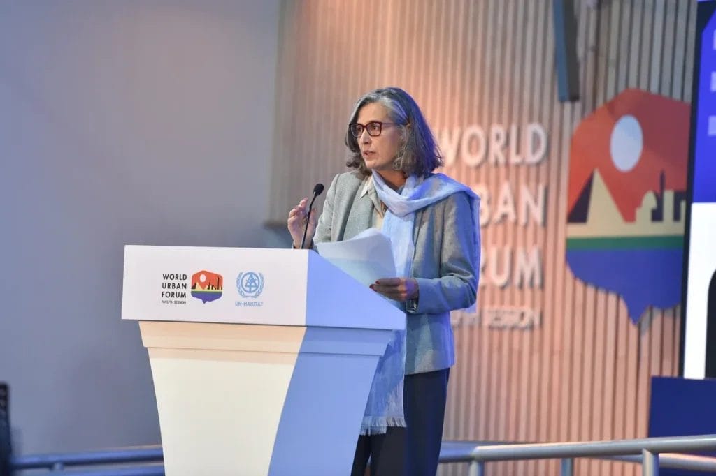
The end result, as listed by United Nations Under-Secretary Anacláudia Rossbach, executive director of UN-Habitat, which organizes the World Urban Forum: 1.4 million homes damaged or destroyed and 3.7 million people displaced in Ukraine; 227,000 homes destroyed and 2 million forced to flee in Gaza; and 6,700 residential buildings destroyed and 1.2 million people displaced in Lebanon.
“The situation is huge and urgent. The sense of emergency—we need to bring that to the table,” she said before a hushed audience at the event, offering to work with other parts of the UN, especially with regard to building safe housing. “My view on that is that we can support in looking at the long term. While all the agencies are very well equipped to provide immediate humanitarian support, we can help look beyond the humanitarian crisis. We can work with communities, with local governments, with local stakeholders, with the civil society, because we do have these entry points naturally throughout our work.”
Beyond near-term measures geared toward humanitarian relief and accepting refugees—an estimated 9 million are expected in Egypt alone—the broader discussion of reconstruction from these current conflicts is so politically fraught that it’s hard to envision a way back from all the destruction. The rebuilding of Europe under the Marshall Plan appears straightforward by comparison. As the journal article author Konvitz wrote: “Cities destroyed in world wars were rebuilt; cities destroyed in today’s urban battles, often in fragile, unstable states, may be left in ruins for years.”
Nevertheless, there are tools and methodologies available to facilitate rebuilding, these experts said in Cairo, from post-disaster land readjustment strategies to geospatial mapping, which can instantly assess the damage and define the land use parameters of reconstruction.
At WUF12, those with experience with the devastation of warfare on cities talked about the importance of neighborhood-scale planning. Mona Fawaz, professor in urban studies and planning at the American University of Beirut, warned against a focus on rebuilding individual buildings, which can engender competition. Instead, she envisioned building a “collective” that would have “custody over the neighborhood and the space of negotiation with public authorities. Once we don’t focus on the collective and we don’t put the public at the center of our attention, what happens is that people don’t come back.”
Another challenge, she said, is the regulatory framework. Consider that cities and villages in southern Lebanon, for example, were built before modern building codes: “So the framework allows only for reconstruction not as it used to be before, which destroys heritage and the sense of identity in these collectives, or then to build illegally.”
Ammar Azzouz, a research fellow at the School of Geography and the Environment at the University of Oxford, agreed that if cities can ever recover from the horrors of conflict over recent years, rebuilding will need to be informed by more basic elements of urbanism. There is too much emphasis on the destruction of “cultural heritage and monuments and the ancient and the classical antiquity sites, but less often there is a focus on the everyday, on the mundane, on the bakery shops on the streets, the neighborhood, the schools,” he said.
Azzouz, the author of Domicide: Architecture, War, and the Destruction of Home in Syria, left his hometown of Homs, Syria, in 2011, and has not been able to return.
“These power dynamics are so important, and I feel like we have to to move from our obsession in academia and journalism and international organizations of focusing on one mosque or one church or a bridge, to celebrate the success of reconstruction,” Azzouz said, asserting that master plans formulated by aggressors do not constitute genuine rebuilding at all. “We need to think about the wider question of what reconstruction means for the local people, and how can we listen to their voices.”
Anthony Flint is a senior fellow at the Lincoln Institute of Land Policy, host of the Land Matterspodcast, and a contributing editor of Land Lines.
Lead image: A residential building in Odesa, Ukraine, damaged by a Russian drone strike in 2024. Credit: Office of the President of Ukraine via Flickr/CC0 1.0 Universal.